数十亿人依赖地图来安全、高效地导航我们的世界。地图不是食物、衣物或住所,但它们几乎可以被视为一种基本的人类需求。当我们从一个目的地移动到另一个目的地时,我们信任我们的导航设备来规划最佳路线。在我们的眼睛旁边,我们的手机和GPS系统为我们提供了对世界最清晰的视图。
自然而然,我们希望我们依赖的地图是准确的。但它们总是呈现最真实的表现吗?
本专栏文章是 CoinDesk 新的 DePIN 垂直领域的一部分,涵盖去中心化物理基础设施的新兴行业。
不,不总是。这带来了一个重大问题。
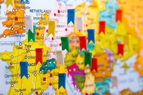
现代地图是数据存储库、导航系统和营销工具。在数字形式中,地图不仅仅提供了世界的快照。我们的社会越来越依赖地图来获取日常信息。根据Google的数据,每个月有超过10亿人使用 Google 地图。同样,UnitedTires 的一项研究显示,60% 的美国司机每周至少使用一次 GPS 服务。结合即时交付、出租车服务以及对餐厅、超市和充电站等兴趣点(POI)的搜索,地图影响了几乎每个人的日常生活。
那么,是谁决定地图中包含哪些数据?哪些信息被省略了?我们的导航是否带领我们走上最佳路径?是谁划定了界线?
要回答这些问题,我们必须看看主要的地图制作人及他们塑造我们世界的动机。随着地图在我们生活中变得越来越重要,这些地图制作者对日常决策具有重大影响。然而,很少有替代方案可供人们获取准确的地图数据作为公共产品。因此,去中心化和开源项目有助于克服封闭和门禁的地图生态系统。
如今,一小部分制图公司负责创建和维护大多数主流数字地图。
每张地图传达了其创作者的特定观点。标注点和划定边界可能看似简单,但这些任务涉及许多选择和固有偏见。
地图可以驱动行为,而专门制作地图的创建者可能会淡化或夸大某些特征,以达到期望的结果。例如,一家餐厅可能赞助一个导航功能,显示他们的目的地为“推荐”,尽管距离、星级评分等因素。在这种情况下,地图形成了一个付费生态系统,赞助的企业主导导航和交通,尽管它们不一定是“最佳”选择。
地图的商业化本身并不是恶意行为,但如果唯一的免费消费者产品主要由广告支出来指导,就会带来重大后果。另一方面,地图公司必须产生收入来维持地图数据收集和创新。因此,大多数公共消费者地图在企业建议与数据新鲜度和准确性之间做出了权衡。
在商业对商业方面,地图公司依赖专有信息来保持竞争力。因此,免费访问的地图很少像它们本应该的那样动态、新鲜和数据丰富。
在公开可用的地图环境中,我们大多数人只能利用手头的少数免费地图来源。这些地图通常由长期主导互联网搜索和发现的大型实体运营。尽管它们继续更新地图并推出新功能,但它们的优先事项和动机并不总是与公众利益一致。
谷歌地图前高级用户体验研究员 Kasey Klimes 最近在一篇X帖子中强调了这个问题。Klimes解释了谷歌地图不包括“风景优美”或“安全”的导航选项的内部原因。这篇帖子已经吸引了数百万的观看量,评论家们质疑公司省略这些备受期待的功能的动机。
制图师所做的决定反映了他们的理解和他们所拥有的数据。今天的大多数地图不是一个单一的视角,而是来自“可信来源”的数据拼贴而成。虽然地图公司可以交叉参考来源以提高准确性,但这是一个不完美的系统。
尽管他们尽力而为,地图公司在验证其数据的真实性和准确性方面面临着重大挑战。地理争端、审查、意外添加/遗漏以及寻求经济或政治利益的不良行为者都提供了数据损坏的机会。
我们愿意相信大多数地图公司绝不会有意误导公众,但认为外部来源和权威可能不会对地图实体施加控制是天真的。Mark Monmonier在他的书《地图如何撒谎》中最好地表达了这一点:“因为大多数地图用户愿意容忍地图上的善意谎言,所以地图也很容易讲述更严重的谎言。”
盲目信任单一信息来源是灾难的前兆。随着技术创造了更复杂的方式来渗透地图提供商的数据集,公司正在寻找更好、更高效的方式来规模化验证信息。
2004年,OpenStreetMap(OSM)提出了解决地图制作偏见问题的首个重大开源解决方案。它依赖全球志愿者的集体智慧,为任何人使用和参考绘制地理空间数据。
OSM是地图制作的重要正确方向。Hivemapper和几乎所有其他制图机构都热情支持并使用OSM数据库来创建地图基础。作为一个开放的倡议,OSM没有任何明显的偏见,并允许整个网络确定什么是真实和准确的。
然而,它也存在问题。缺乏对独立贡献者的直接激励或报酬,OSM平台今天主要依赖来自主要公司的旧图像或捐赠的图像。虽然系统仍然对编辑开放,防止地理空间数据的明显损坏,但OSM仍然难以跟上现代制图工作的步伐。
阅读更多:Daniel Andrade - DePIN Is the Sharing Economy 2.0
许多错误和偏见会滑过漏网,给地图制作者带来不断的打地鼠游戏。虽然这个解决方案更不易受到单一操纵,但并非完全无懈可击。制图数据战仍然是一个问题,独立用户偶尔会损坏地图信息,就像神秘用户有利于编辑OSM中所看到的那样。
在一个完美的世界里,谁会画出这些界线呢?我们会 — 所有人。不仅仅是一小群制图师。如果有平等的机会获取新鲜和准确的数据,我们将摆脱被隔离和受控的地图生态系统的枷锁,创造出完整、新鲜且无限可定制的地图体验。
这一切都归结于数据。
我们从OSM那里得到了开放性的模式,但它并没有克服收集和审核无偏见数据的问题,同时保持有效信息源的网络。不幸的是,人类中介是有缺陷的。中间人会破坏信息源,将新鲜数据藏在把手后面,并在地图中注入他们自己的偏见。
但如果“人类”因素被最小化会怎样呢?如果我们能创建一个自我调节的地图网络,只呈现诚实的信息会怎样呢?有了区块链技术,这种地图网络不再是一个白日梦。
简单来说,区块链是一个准确跟踪网络贡献的分类帐。同样,加密货币使用智能合约来自动化网络内的激励,按比例奖励贡献。这些贡献也可以延伸到主要信息源硬件,比如行车记录仪。
像Hivemapper这样的项目已经利用基于区块链的奖励来招募大量的地图数据贡献者。然而,这些地图贡献者不是充当中间人,也不在网络内施加偏见。贡献是通过专门设计的硬件和人工智能软件自动化的,用于收集原始客观的地图数据。
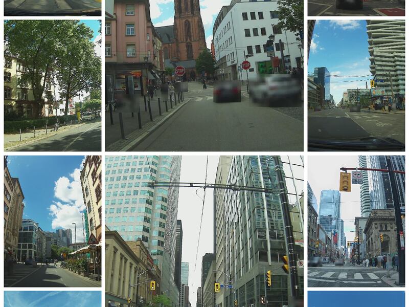
在Hivemapper的情况下,贡献与捕捉和审核街道级图像的行车记录仪相关联,并用加密货币奖励相机所有者。除了安装摄像头之外,人为因素被最小化。相反,由行车记录仪捕捉的高清图像完成了识别和绘制地图特征的繁重工作。
每天都有成千上万的人在道路上行驶,这些道路正是我们的绘制和分析的对象。因此,我们可以利用这些车队来供应专门设计的行车记录仪,这些行车记录仪可以兼作制图机器,Hivemapper能够在全球范围内自动化地收集地图数据。
阅读更多:Sean Carey - Every DePIN Has a Story
这是一个无偏见的系统,通过多个驾驶员交叉验证图像,并通过区域激励来使参与变成一种游戏。通过最小化人为因素,信任不再是一个因素,而是网络内不断权衡的一个变量。任何试图向网络中注入虚假数据的不良行为者都会很容易被识别,因为其他驾驶员会重走已绘制的道路,并确认或拒绝之前的地图贡献者。那些向网络提供高质量数据的贡献者将获得定期的奖励。那些污染数据池的贡献者将被从网络中移除,并从奖励周期中删除。
是的,人们会扭曲和塑造数据以满足他们期望的结果。这并不是我们可以彻底改变的事情。但如果我们为每个人提供平等获取新鲜、准确和价格合理的地图数据,我们就可以打破目前主导地图世界的垄断局面。
某些地图组成部分是客观的,依赖于事实真相。诸如街道名称、道路状况和标志位置之类的事物很少成为争论的对象。从基本的地理空间数据开始,我们可以为地图创建一个诚实的基础。
然后,用户可以添加额外的数据用于导航、兴趣点、商业需求等。通过去中心化网络,我们可以自动化地图新鲜度的元素,并且通过开放的API,开发人员可以不断创新和创建动态过滤器。然后,公众可以访问地图的开放市场,并自行决定哪些地图最适合他们的需求。
注:本专栏中表达的观点属于作者个人观点,不一定代表CoinDesk,Inc.或其所有者和关联公司的观点。
免责声明:本文章仅代表作者个人观点,不代表本平台的立场和观点。本文章仅供信息分享,不构成对任何人的任何投资建议。用户与作者之间的任何争议,与本平台无关。如网页中刊载的文章或图片涉及侵权,请提供相关的权利证明和身份证明发送邮件到support@aicoin.com,本平台相关工作人员将会进行核查。


